The ultimate island-hopping bikepacking trip, the Hebridean way is an iconic multi-day cycle through Scotland’s stunning Outer Hebrides.
Spanning ten of the Outer Hebridean islands, the Hebridean Way includes two ferries, six causeways, sharp climbs, countless beaches, and some of the United Kingdom’s most incredible wildlife.
If you’re looking for your next bikepacking adventure, look no further! The Hebridean way is a fantastic route that has a bit of everything.
But what do you need to do to prepare? And what’s the ride actually like?
Fear not! We’ll answer all this and more in this comprehensive guide to all things Hebridean. To get you up to speed, we’ll be covering:
- Hebridean Way Cycle Route: The Overview
- What To Know Before You Go
- The Hebridean Way Route In Detail: Island-By-Island
Ready for the lowdown on the Hebridean Cycle Way?
Let’s get started!

Overview Of The Hebridean Way Cycle Route
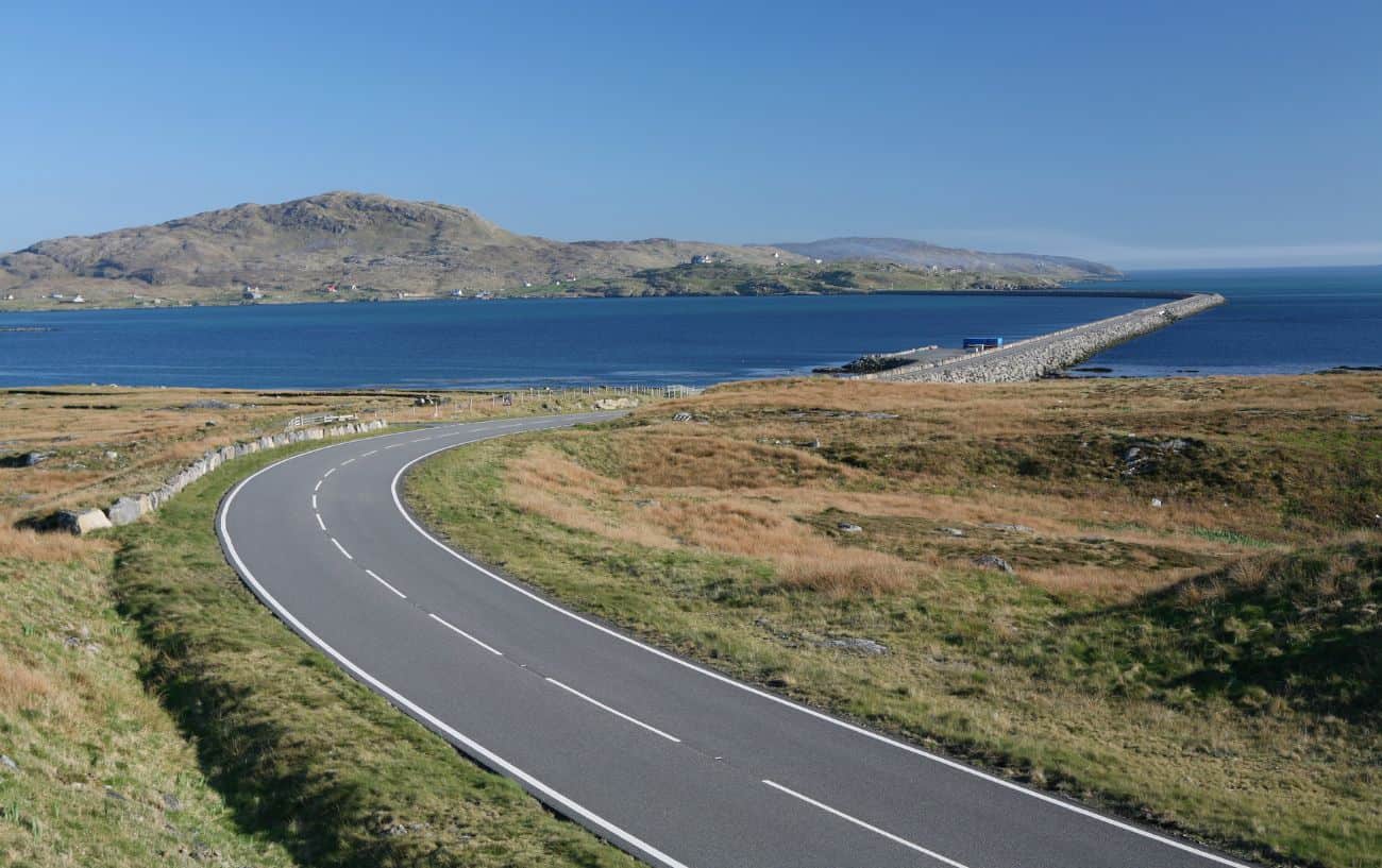
The Outer Hebrides is an arc-shaped archipelago around 40 miles off the coast of mainland Scotland. The Hebridean Way route traverses all 10 of the inhabited islands from Vatersay to Lewis, over large mountains, through wild moors, and along stunning coastal tracks.
Famed for their beaches, the Hebrides have some of the most beautiful coastlines you can find anywhere in the world, yet they’re only around 500 miles from the Arctic Circle! Here you’ll find swathes of white sand, crystal-clear turquoise waters, and rugged cliffs towering over stormy seas.
Beginning in Vatersay, you’ll cycle nearly 200 miles across 4000m of elevation before you reach the end of your journey at the Butt of Lewis.
It’s up to you how long you wish to spend on this ride. If you’re aiming to do it fast, without having much time on the stunning beaches or spotting wildlife, you might be able to complete it in around 3-4 days. But to give yourself enough time to fully experience the Hebrides, you’ll want to have at least a week, and some spend over 2 weeks enjoying the remote landscapes of these islands.

What To Know Before You Go
Like every bikepacking adventure, you need to make sure that you properly prepare. But don’t worry, we’ve got you covered!
Here are four key points to get prepared before you go.
#1. Plan Your Route
Although the Hebridean way is a set route, you need to make sure you know how long you’re going to dedicate to the trip, and exactly where you’re going to be on each day.
This is because the route is extremely popular; ferries and bunkhouses fill up, and food options are few and far between due to the remoteness of the islands.
There is a significant prevailing southerly wind, so unless you want to be battling a headwind the whole time, you need to start in the south in Vatersay and end in the North at the Butt of Lewis.

#2. Book Your Transportation
First things first, you need to get to the start of the route.
The easiest way of getting there (unless you’re coming from northern Scotland) is to fly or get the train into Glasgow, and take a 3-hour ScotRail train to Oban, which you can book online.
From Oban, it’s a 5-hour ferry to Barra. This is a beautiful journey that goes through the Sound of Mull and the Hebridean sea. Keep your eye out for wildlife!
There are two ferries within the Hebridean Way itself that you’ll need to book: Barra to Eriskay, and Berneray to Lewis. The last ferry to get back to the mainland once you’ve finished is a 3-hour crossing from Stornoway (Lewis) to Ullapool.
You must book your ferries a few months in advance. If you’re doing the ride in the summer months, the ferries book up months in advance, so it’s necessary to have properly planned your route first!
Getting from Ullapool to Glasgow is a bit of an ordeal. The best way to do this is to cycle from Ullapool to Garve, and then an hour-long train journey to Inverness, followed by a 3.5-hour train back to Glasgow. These should also be booked in advance.

#3. Book Accommodation
Wild camping is completely legal in Scotland!
One of the great joys of this route is waking up on a deserted, white sand beach or atop a cliff with breathtaking ocean views, something which can generally only be achieved by wild camping.
Having said that, if you’re going to be spending a week or more on the road, you might want to have a few nights of accommodation spread throughout. After a couple of long days in the saddle and wild camping, a night with a warm bed and a hot shower is bound to be welcome.
There are plenty of accommodation options that cater well to cyclists, called bunkhouses, or bothys. These are shared bunk rooms between 4-10 people, usually with a shared bathroom and kitchen. Again, these fill up far in advance, so you’ll need to book them ahead of your trip.
#4. Pack your gear
Now for the fun part: getting your gear together!
Of course, the most essential part is the bike. You can do this route on nearly any type of bike. The roads are well paved for the entire route, so to keep your weight down, it could be smart to ride a road bike, or a streamlined gravel or touring bike. Just make sure you have the correct mounts for your bikepacking bags.
You’ll want to bring a tent, sleeping bag, stove, pans, gas, a portable charger, swimsuit, a towel, and anything else you might need depending on the length of your trip.
- Check out our Complete Bikepacking Gear List here!
There’s a final point that’s important to consider on any trip to western Scotland: the weather.
The Gulf Stream runs straight up the west side of the Hebrides, bringing with it warm, moist air. This rises into the atmosphere, often forming a thin cloud cover, even in summer.
These thin clouds can lower the temperature by as much as 10°C compared with the mainland, so layer up!
The route in detail: Island-By-Island
There are 10 islands on the Hebridean way. The islands differ significantly from one to the next, each with its own unique feel.
Vatersay
First, you need to get here!
When you get the ferry from Oban, the crossing will take you to Castlebay, on Barra, and you need to cycle south to get to the very start of the Hebridean way in Vatersay. Don’t worry though, you’ll be coming back to Barra later!
Follow the coastal road due south from Castlebay for 2.5 miles until you reach the causeway over to Vatersay. Now you’ll probably be wanting to find a spot to set up camp.
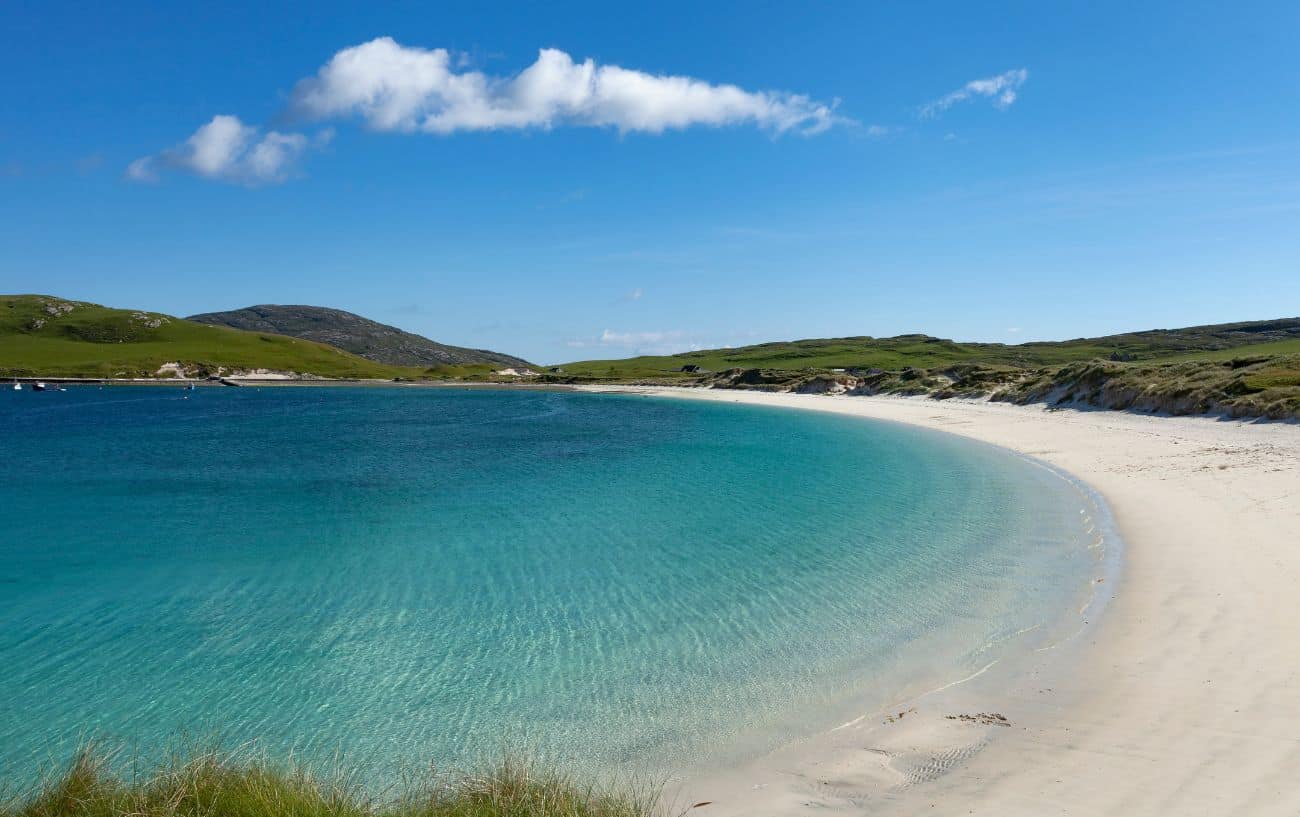
Vatersay is blessed with 3 stunning beaches:
- Traigh a Bhaigh (East Beach)
- Traigh Shiar (West Beach)
- Bagh A’Deas (South Beach)
Bagh A’Deas is arguably the most beautiful of these. On a clear and calm day, the water is crystal clear and turquoise with beautiful white sand. However, you should choose which beach to camp for the night based on the wind direction on the day: go for the one for which the wind is offshore.
Barra
Barra is a rugged, beautiful island, with dark cliffs cascading into turquoise waters.
From Vatersay, cycle back to Castlebay, and continue following the road round to the north. It’s a rolling 8 miles or so to the Calmac port for your ferry to Eriskay.
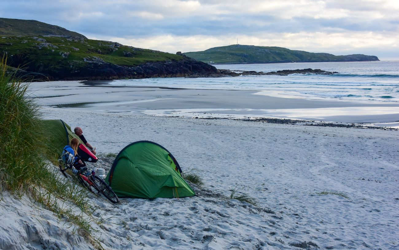
However, if you do have enough time to spend a night here, there is a perfect beach to set up your tent. When you get to the junction for the port, continue cycling for just over a mile and you will reach the airport – a unique one at that since the planes use the wet sand as a runway!
Once at the airport, turn left (due west) through a gate and push your bike around 150 meters down a small beach path and over some dunes and you will reach Traigh Eais. This beach is often completely deserted, with good spots for your tent in the dunes.
Eriskay
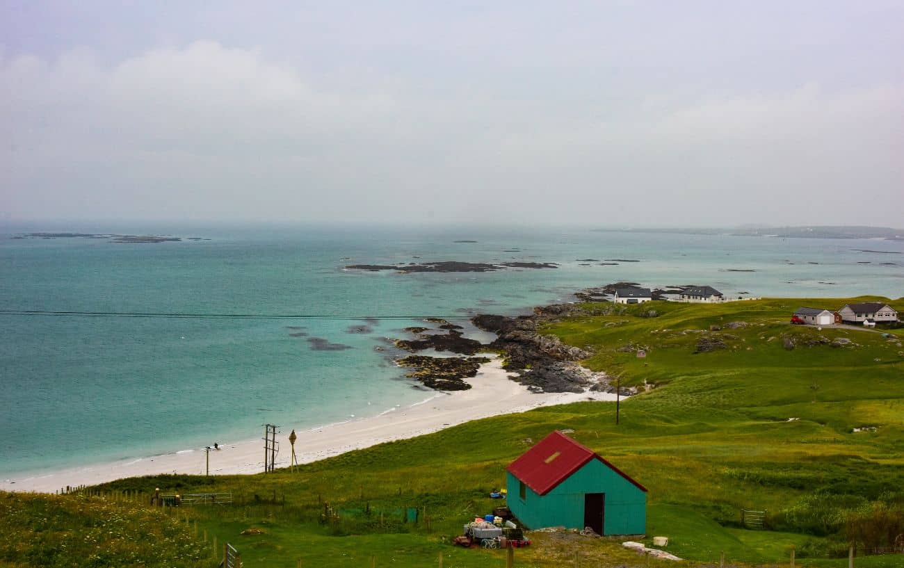
Eriskay is a very small island, and most people tend to just pass through it with the quick 2.5-mile ride to the causeway. However, just to the left of the ferry port, there is an extremely beautiful beach, well worth a swim if you have the time.
Out of the port, follow the road north. You will be met with your first notable climb. After slogging your way up, you’ll be met with stunning views over the small town and azure waters. After taking in the vistas, descend into the town, and (maybe after a quick coffee), cross the causeway to South Uist.
South Uist
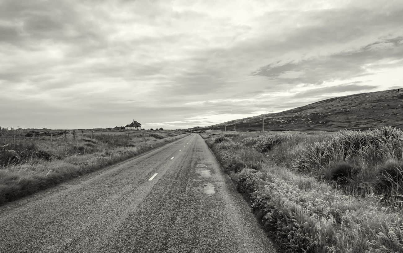
South Uist is an interesting one.
It is one of the only longer stretches on the whole ride which doesn’t hug the coastline. The interior is incredibly empty and expansive. Some might even call it bleak, but beautifully so, with windswept, flat, and deserted moors stretching as far as the eye can see.
Following the road north from the causeway, after about 7 miles you will reach the holy grail: a Co-Op supermarket. These are extremely few and far between, so it’s a good idea to stock up on food whenever you see one.
From Daliburgh, there’s an optional 6-mile detour to Lochboisdale, where you’ll find a fantastic lunch spot called Croft and Cuan serving up local produce. Try the oat-breaded hake or the scallop and black pudding sandwich.
Upon returning to Daliburgh, continue following the road for a further few miles until you reach a sign pointing left for the Hebridean Way. Follow this route, making your way north on quieter roads until you reach the causeway, 17 miles from Daliburgh.
Benbecula

Benbecula is another windswept moorland.
From the causeway, follow the road north and take a left towards Linaclate. Finally, another Co-Op! After this, continue following the coastal road northwards until you reach the causeway to Grimsay, around 9 miles later.
Grimsay

You’re not going to spend a long time on Grimsay.
A small island similar in appearance to South Uist, the route goes straight through the middle for only about a mile. Follow the A865 from the causeway due north until you reach the next causeway to North Uist.
North Uist
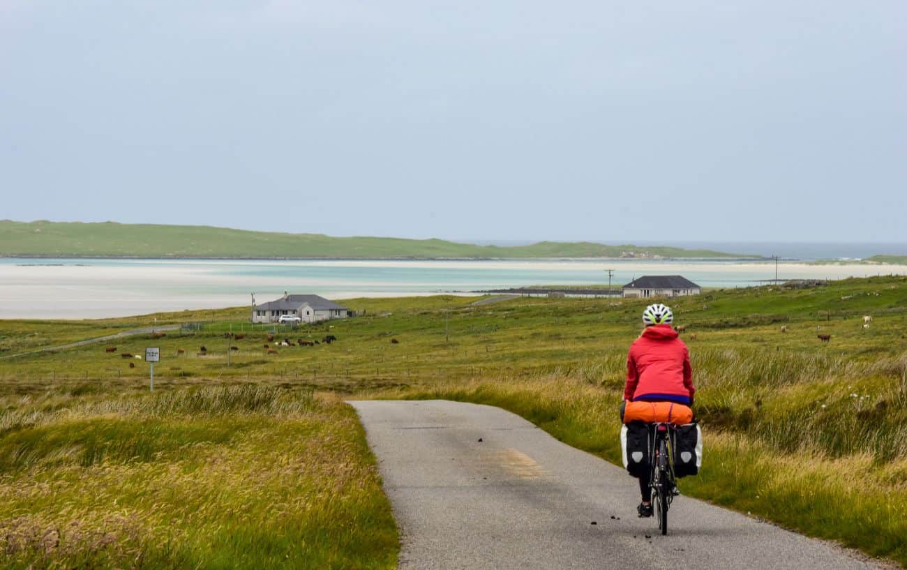
North Uist is another vast, empty island, but with some of the best beaches and camp spots anywhere on the Hebridean Way.
Following the road north from the causeway, after 3 miles you’ll reach Balshare – a great spot for a swim if you can spare the time!
A few miles later, at Ardheisker, you have a choice: follow the road around the coast through the beautiful Balranald nature reserve, or turn right and cut straight across the island on a lovely small track, ending with brilliant views over the northern beaches.
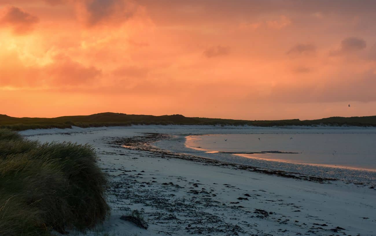
You’ll happen upon another Co-Op at Sollas. After grabbing your food, head towards Grenitote, and take the left turn, following it to the car park. You will arrive on a great beach, Traigh Udal. Walk all the way along the sand for around 20 minutes, and at the end, you will find one of the best beaches on the whole route.
A swathe of white sand, seldom visited, this is as good a spot as any to set up camp. If you’re lucky with the weather, you’ll catch an amazing sunset over the machair on one side, and a beautiful pink sky over the sea on the other.
Keep an eye out for otters and seals!
Berneray
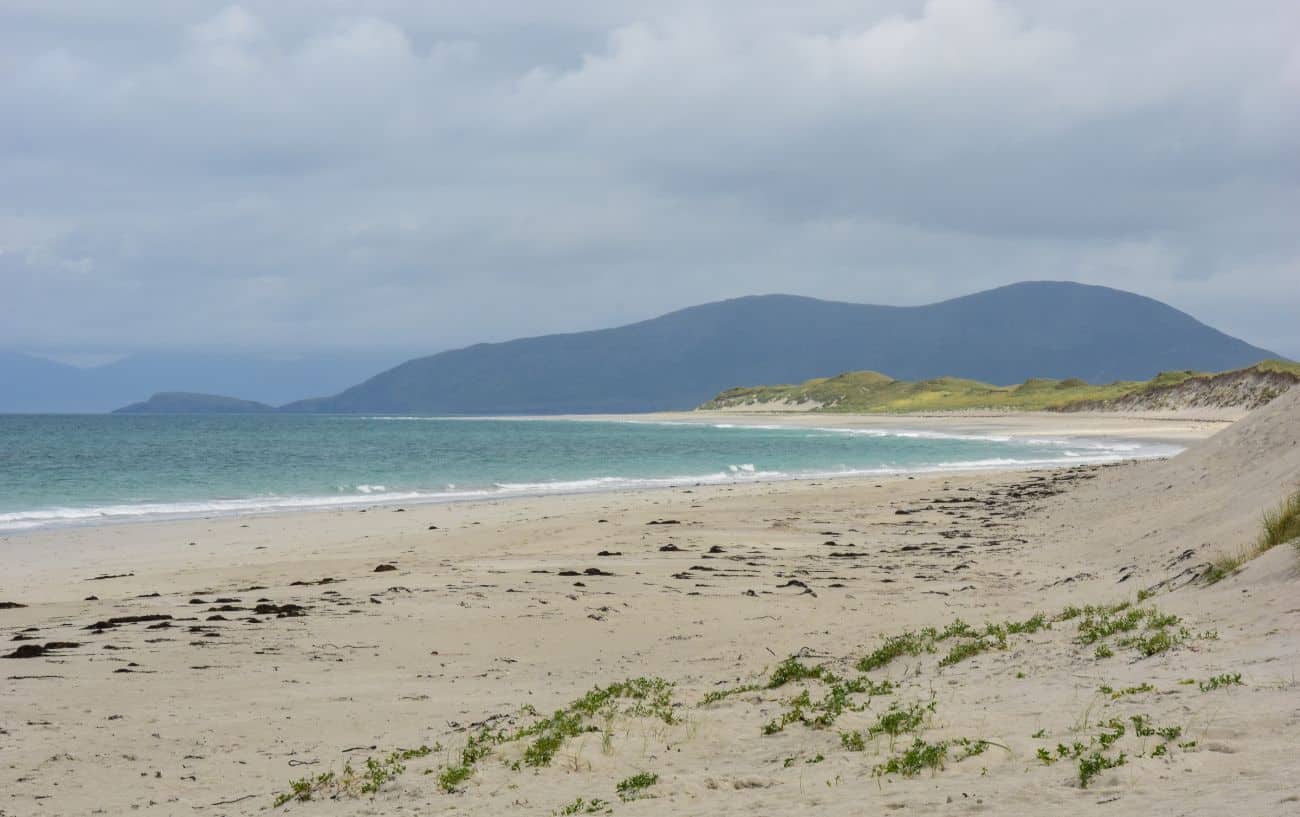
After crossing the causeway from North Uist, you will reach this gem of an island, Berneray.
With two fantastic beaches, a seal colony, and some great hikes, it’s a good place to sleep for the night. There is a wonderful bothy here called John’s Bunkhouse, restored from a ruined traditional Hebridean ‘blackhouse’ that’s been there for centuries.
The two beaches are creatively named East and West Beach. West Beach is the more impressive of the two, a stunning bay with azure waters. You’d be forgiven for thinking you’d stumbled into Southeast Asia.
(The Thai tourism industry really did make this mistake, publishing a photo of West Beach thinking it was one of their own!)
Harris
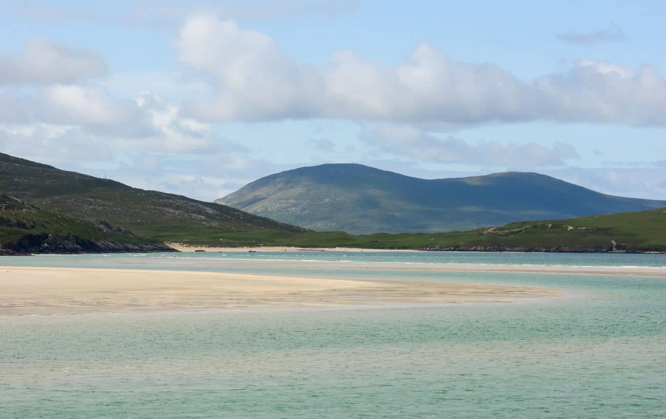
With pristine beaches, huge mountains, and beautiful ecologically diverse sea lochs, Harris is arguably the highlight of the whole Hebridean Cycle Way.
From Leverburgh, head left along the coastal road, climbing over the cliffs with brilliant views of the dramatic coastline. Follow this road north for around 14 miles and you will reach Seilebost.
Seilebost is an estuary with stunning turquoise waters, and has several beaches dotted around the inlet. You can sleep here, or continue and take a left towards Luskentyre, one of the most famous beaches in the Outer Hebrides. A big open stretch of sand with turquoise waters, and framed on all sides by mountains, it’s another fantastic spot to pitch up.

Next, continue due east towards Tarbet. After a hefty climb out of Seilebost, you’ll be rewarded with a rolling plateau road with views on all sides, then a rapid descent into Tarbet. Grab lunch, and continue on your journey north.
After Tarbet, hug the coast westwards until you reach a fork. There is an optional detour here to the Eagle Observatory. Perched at the bottom of a valley facing a sea loch, many visitors come across the famed sea eagle (or white-tailed eagle) here, the largest bird of prey on Earth.
Returning to the fork, turn left up the A859. You’ll be immediately greeted with the hardest climb in the whole ride, a 1.8 km Category 4 with an average gradient of 7%. Hard work with all that luggage!
After this, you’ll descend one of the most stunning roads in the Hebridean Way, weaving around the towering mountains before arriving at the Scaladale Centre, a bothy where you can rest your head for the night.
Lewis
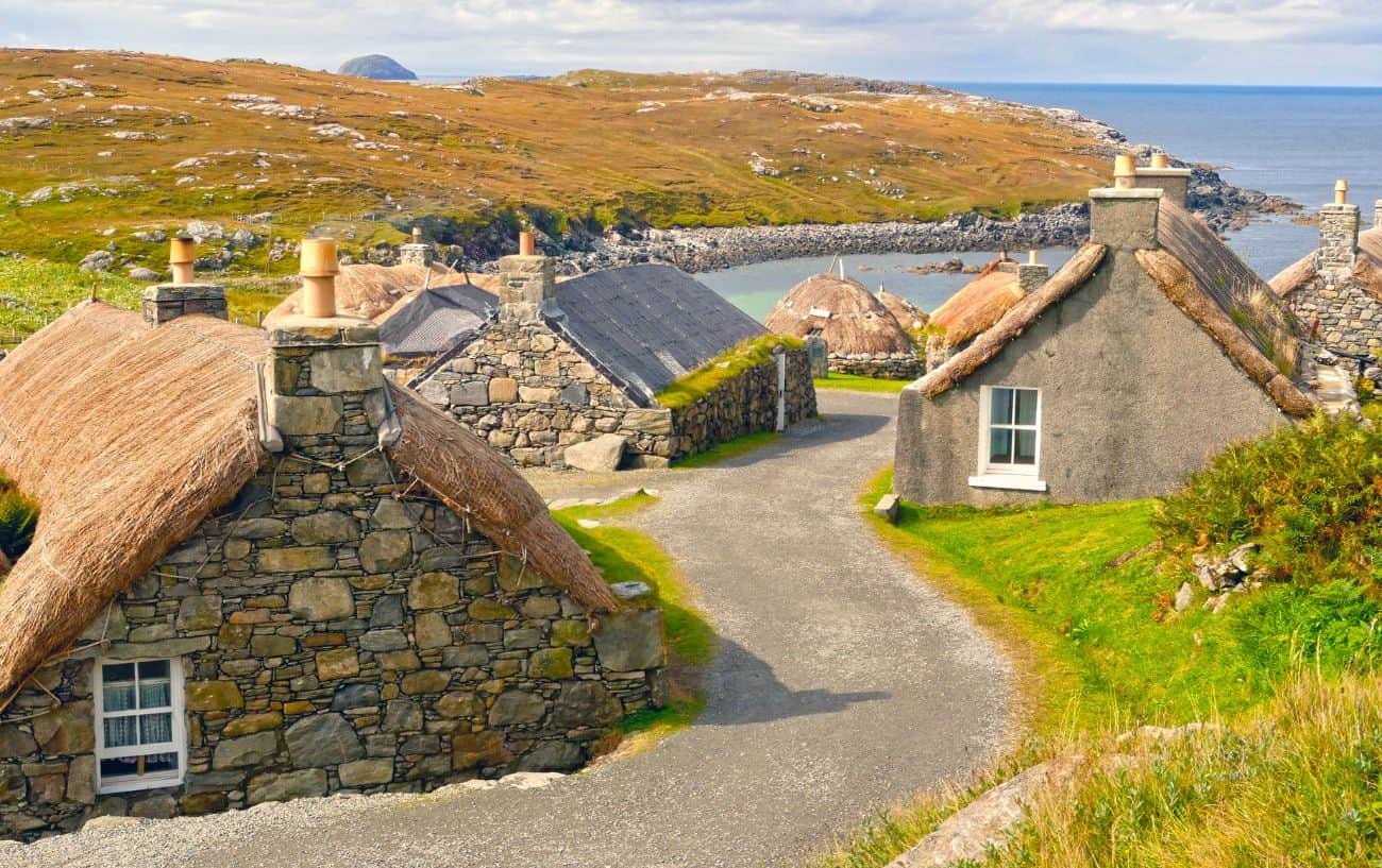
Lewis is actually part of the same island as Harris, separated by a mountain range that runs across the middle. Harris occupies the southern third of the island, with the rest being Lewis.
Scenery-wise, Lewis is almost a crossover of Uist and Harris. It’s a vast stretch of moorland, like Uist, but shares the beautiful rolling hills of Harris. It also has one of the only forests you’ll see on the whole ride, since trees are not indigenous to the Outer Hebrides.
Continue along the A859, and after about a mile or two you’ll reach the woodland where you can stop for a walk. Around 5 miles of rolling hills later, you’ll reach Balallan, where you can take an optional detour to Ravenspoint Hostel, a great spot to stay where you have a high chance of catching a glimpse of a sea eagle.
Around 10 miles past Balallan, on the road to Callanish, you’ll find Crust, a small shipping container in the middle of nowhere that serves up the most remote Neapolitan pizza in Scotland. It’s great pizza too, perhaps the best meal you’ll have on the trip!
(Be warned though, Crust is only open Thursday through Saturday – so plan ahead to avoid dissapointment.)

After a quick look around the standing stones at Callanish, you’re in the final stretch. There’s a great beach 10 miles further called Dalmore, which has some very good ground to pitch on. After this, it’s a grueling, rolling, 25-mile ride to the Butt of Lewis, which is about a day’s riding.
Once you reach the Butt – congratulations! You’ve officially completed the Hebridean way!
Now it’s time to make your way back to Stornoway (you can actually get a bus which allows bikes, departing from the Butt of Lewis if you need to give your own butt a break) and catch the ferry back to Ullapool.
And with that, your Hebridean Way adventure is at an end!


